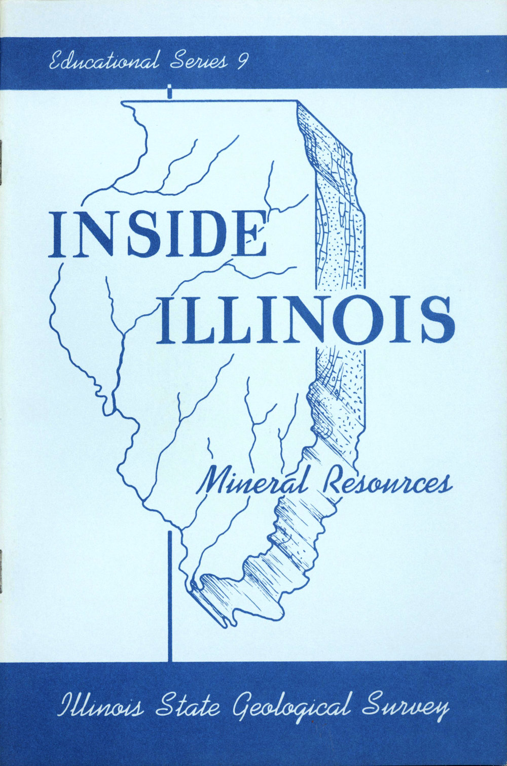
Educational Series 9
INSIDE ILLINOIS
Mineral Resources
Illinois State Geological Survey

STATE of ILLINOIS
DEPARTMENT of
REGISTRATION and EDUCATION
1965
ILLINOIS STATE GEOLOGICAL SURVEY
John C. Frye, Chief
URBANA, ILLINOIS
Printed by Authority of State of Illinois, Ch. 127, IRS, Par. 58.25.
INSIDE ILLINOIS—
Mineral Resources
Although Illinois has been nicknamed the “PrairieState,” many parts of it are hilly and scenic. The idea of largeareas of the state being nothing more than broad, flat prairieshas come about because the major highways have been builtto take advantage of the comparatively low, gently rollinglandscape rather than the rougher more scenic areas.
Physiography is the study of the creation and gradualchange of land surface forms (the landscape). Thus, the landsurface as we see it today in each of the physiographic provinces(fig. 1) has had a particular history of development.
Illinois is about 385 miles long from north to south andabout 218 miles wide. It has an area of 55,947 square miles.The average elevation of the state is about 600 feet abovesea level. Charles Mound, however, in the northern part ofJo Daviess County in extreme northwestern Illinois, has anelevation of 1,241 feet above sea level and is the highest pointin the state.
Cheap water transportation is available to Illinois industrythrough Lake Michigan, the Illinois Waterway, and theMississippi, Ohio, and Wabash Rivers. These major riversof Illinois collect the surface drainage of the state from a networkof about 500 streams.
WHAT IS THE EARTH MADE OF BENEATH THE GROUND SURFACE?
The earth is made of a large number of different rocksand minerals (limestone, sandstone, shale, coal, iron, granite,and many others). These materials are divided into threezones: core, mantle, and crust (fig. 2).
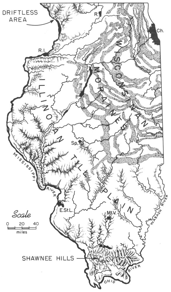
Figure 1—Physiographic provinces of Illinois.
- DRIFTLESS AREA
- WISCONSINAN MORAINES
- ILLINOIAN TILL PLAIN
- MISSISSIPPI RIVER
- WABASH RIVER
- SHAWNEE HILLS
- OHIO RIVER
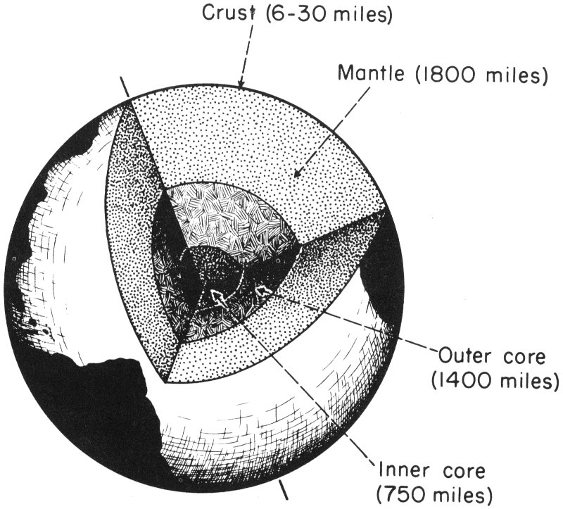
Figure 2—The earth with a segment removed toshow supposed internal zones.
- Crust (6-30 miles)
- Mantle (1800 miles)
- Outer core (1400 miles)
- Inner core (750 miles)
WHAT IS CORE?
The core is the in