HOVEY’S HAND-BOOK
OF
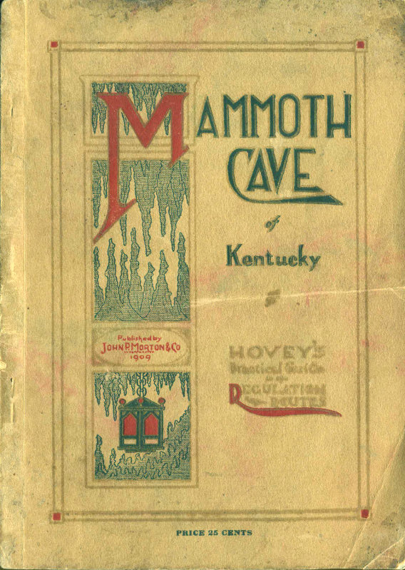
The Mammoth Cave
OF KENTUCKY
A PRACTICAL GUIDE TO THE
REGULATION ROUTES
With Maps and Illustrations
BY
HORACE CARTER HOVEY, D.D.
F. G. S. A.
Copyright, 1909, by John P. Morton & Company, Incorporated
Louisville, Kentucky
JOHN P. MORTON & COMPANY
Incorporated
1909

MAMMOTH CAVE
KENTUCKY
Drawn by Horace C. Hovey
1909
(From former surveys, with recent additions)
Copyright 1907 & 1909 by Horace C. Hovey
[High-Resolution Image]
| TABLE OF APPROXIMATE DISTANCES | ||||
|---|---|---|---|---|
| To the | Kentucky Cliffs | about | 380 | yds. |
| ″ | Standing Rocks | ″ | 647 | ″ |
| ″ | Giant’s Coffin | ″ | 875 | ″ |
| ″ | Star Chamber | ″ | 1500 | ″ |
| ″ | Ultima Thule | ″ | 4200 | ″ |
| ″ | Limitation Hill | ″ | 1840 | ″ |
| ″ | Angelica’s Grotto | ″ | 1957 | ″ |
| ″ | Mammoth Dome | ″ | 1870 | ″ |
| ″ | Echo River (A) | ″ | 2320 | ″ |
| ″ | End of Echo River (est.) | ″ | 3000 | ″ |
| ″ | Jessup Domes | ″ | 4200 | ″ |
| ″ | Mary’s Vineyard | ″ | 6000 | ″ |
| ″ | Hovey’s Cathedral (est.) | ″ | 9200 | ″ |
| ″ | Maelstrom | ″ | 9600 | ″ |
NOTE:—No instrumental survey of thewhole cave has ever been made, and no exactscale can be given. The above are some ofthe distances as paced along the avenues.Domes, halls and pits are relatively enlarged;and rivers and pools are blackened. Thedata for this new Guide map is from theearlier maps of Bogert (1814), Ward (1816),Lee (1835), Bishop (1845), B
...BU KİTABI OKUMAK İÇİN ÜYE OLUN VEYA GİRİŞ YAPIN!
Sitemize Üyelik ÜCRETSİZDİR!